






C.C. Cragin Reservoir
On this page:
History of C.C. Cragin Reservoir
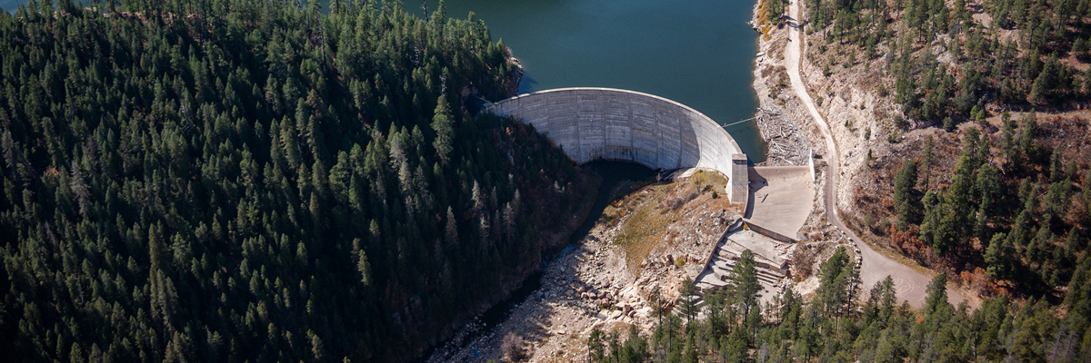
To meet its need for additional water, Phelps Dodge built Show Low Lake in 1952 and C.C. Cragin Reservoir in 1965. Phelps Dodge and SRP entered a water-exchange agreement in 1962 to cover diversions and exchanges of water from these facilities.
This agreement confirmed each party's respective water rights in the watersheds of the Salt, Verde and Gila rivers. In addition, it provided SRP with the opportunity to acquire C.C. Cragin Reservoir and its water production facilities — fulfilling Phelps Dodge's obligations under the 1962 agreement to offer the reservoir to SRP.
Phelps Dodge and SRP agreed that if SRP acquired the reservoir, a portion of the water would be delivered to the Gila River Indian Community as part of the Comprehensive Gila River Settlement.
Restoring the C.C. Cragin Watersheds
The C.C. Cragin watershed is listed as a priority watershed within the Western Watershed Enhancement Partnership. It is a critical source of water for the town of Payson, communities in northern Gila County and SRP shareholders.
Together with the Town of Payson, the National Forest Foundation, Coconino National Forest and the Bureau of Reclamation, SRP launched an initiative in 2014 to accelerate the restoration of forest lands that feed C.C. Cragin Reservoir.
The initiative, the Cragin Watershed Protection Project (CWPP) (Opens in a new tab), was designed to reduce the risk of wildfire and the resulting impacts to water supplies, air quality, wildlife habitat and recreation opportunities. The environmental assessment performed as part of the CWPP focused on approximately 64,000 acres of land surrounding C.C. Cragin Reservoir, which include the three watersheds that drain into it: East Clear Creek, Bear Canyon and Miller Canyon.
The environmental assessment was completed in 2018 with approximately 37,000 acres within the assessment area identified to begin wildfire remediation efforts, which includes strategic thinning. The decision notice (Opens in a new tab), with these outcomes described, for the CWPP was published in July 2018. SRP is working with the Forest Service and partners to accelerate strategic thinning in the CWPP area.
C.C. Cragin Reservoir today
The C.C. Cragin project consists of a number of facilities (Opens in a new tab), including an electrical transmission line and a generating plant. The majority of the project is located in the Coconino and Tonto national forests.
In addition to satisfying obligations to the Gila River Indian Community, C.C. Cragin will be used to supplement SRP shareholders' water supply and to assist with improving the water supply situation in northern Gila County in accordance with the Arizona Water Settlements Act.
Things to do at C.C. Cragin Reservoir
C.C. Cragin Reservoir, more commonly known as Blue Ridge Reservoir, can be found about 60 miles south of Flagstaff on a graveled forest road near the town of Happy Jack. See the best ways to enjoy this narrow, winding, tree-lined body of water.

Hit the water

Stay the night

Cast your line
Enjoy C.C. Cragin Reservoir responsibly
Find resources to plan a safe and fun day on the water at C.C. Cragin Reservoir.
Observe boat ramp rules
RELATED TOPICS
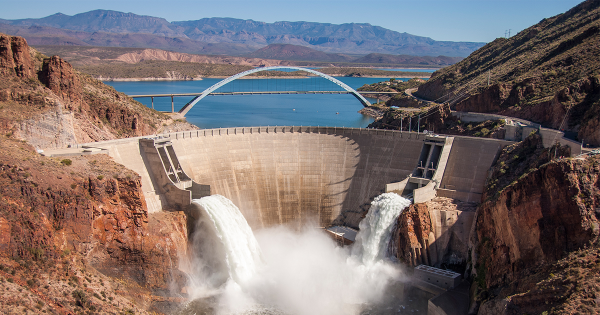
Hydropower 101: Sustainable and clean energy | SRPconnect Blog
Hydropower is the term used for electricity that is produced from the clean energy of moving water. Learn more about its role in the Valley.
Map of canal trails and FAQ for Greater Phoenix | SRP
Walk, run or bike along the Phoenix canal trails that pave the way for fun and recreation. Find an official SRP canal map and safety info here.
Where your water comes from in the Phoenix metro area | SRP
Central Arizona’s water supply comes from three main sources — the Colorado River, the Salt and Verde river systems and groundwater. Learn more here.


